An Elevation Certificate is an important document for homeowners in flood zones. It shows how high a home sits compared to the flood risk level for that area. Insurance companies use this information to set flood insurance rates. When the numbers on the certificate are wrong, the insurance cost can go up more than expected. Most homeowners don’t know there is a problem until they see a premium that seems too high.
Small Mistakes on an Elevation Certificate Can Affect Insurance Costs
An Elevation Certificate has many measurements and data fields. Each one helps the insurance company understand the flood risk of a property. A small error in one field can change that picture.
For example, if the lowest floor height is recorded a few inches lower than it really is, the home looks like it sits closer to the flood risk level than it does. The insurer uses that number to set the rate. A lower number means higher risk on paper, which leads to a higher premium. The homeowner ends up paying more each year based on a mistake.
Incorrect Building Elevations Can Lead to Higher Rates
The most important number on an Elevation Certificate is the height of the lowest floor. Insurance companies compare that number to the Base Flood Elevation for the area. The closer those two numbers are, the higher the risk looks, and the higher the rate tends to be.
When the lowest floor height is wrong, that comparison gives a false result. A home that sits well above the flood level may look like it barely clears it on paper. That difference can add hundreds of dollars to the yearly premium. Getting the number corrected by a licensed surveyor can bring the rate back down.
Missing Information Can Slow Down Insurance Reviews
An Elevation Certificate has several required sections. Each one captures details about the home and its flood zone. When sections are left blank or filled in the wrong way, the insurance company cannot finish their review.
Missing details often lead to a request for corrections before the policy moves forward. That back-and-forth takes time. It can delay coverage right before a closing date or before storm season starts. A complete and correct certificate moves through the review process without those hold-ups.
Outdated Certificates May Not Reflect Changes to the Land
An Elevation Certificate shows what the property looked like at the time of the survey. Over time, changes to the land nearby can affect how water moves during a flood. Grading work on nearby lots, new roads, and changes to drainage systems can all shift how water flows around a home.
When those changes happen after the certificate was made, the document may no longer be accurate. An insurer looking at an old certificate is working from information that may not match current conditions. An updated certificate gives a more accurate picture of the property as it stands today.
Checking Your Elevation Certificate Early Can Help Avoid Surprises
The best time to look at an Elevation Certificate is before a home purchase or insurance renewal, not after the bill arrives. Buyers who review the certificate before closing can check whether the recorded floor height matches the flood zone information for that area. If something looks off, there is still time to ask for a new one before the deal is done.
The same idea applies before renewing a flood policy. Checking the certificate a few months early gives enough time to order a new survey if the current one has errors or blank fields. Finding a problem early costs much less than paying a higher rate for months before anyone notices the mistake.
Frequently Asked Questions
What is an Elevation Certificate?
An Elevation Certificate shows how high a building sits compared to the flood risk level for its area. Insurance companies use it to decide how much flood coverage should cost.
Can mistakes on an Elevation Certificate increase flood insurance costs?
Yes. Wrong measurements can make a home look like it has more flood risk than it does. That leads to a higher premium. Fixing the errors with an updated certificate can bring the rate back down.
Why is accurate elevation data important?
Accurate data helps insurance companies understand the true flood risk for a property. When the numbers are right, the premium reflects the actual risk, not a higher estimate based on wrong information.
Should I replace an old Elevation Certificate?
You may need a new one if the current document has errors, missing information, or if the land around the property has changed since it was prepared.
Who can help with an Elevation Certificate?
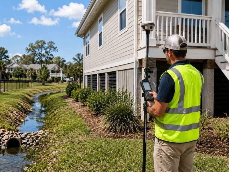
A licensed land surveyor can take the measurements and prepare the paperwork needed to complete an accurate Elevation Certificate.